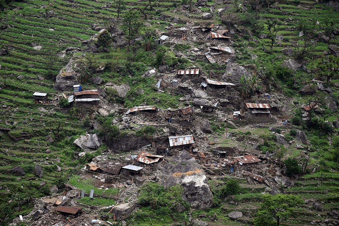
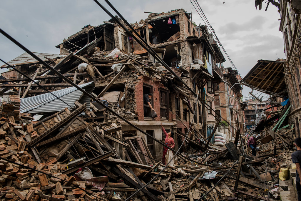
What are the patterns of image diffusion during the Nepal Earthquake?
[William Farmer](http://github.com/willzfarmer) [Kevin Gifford](http://github.com/kevinkgifford) [Parker Illig](http://github.com/pail4944) [Robert Kendl](http://github.com/DomoYeti) [Andrew Krodinger](http://github.com/drewdinger) [John Raesly](http://github.com/jraesly)

Questions

Q1: How many tweets had "share location" enabled? How many users had "share location" enabled? Did any user enable "share location" in-between subsequent tweets? (contributed by Kevin Gifford)

Q2: Can we plot the tweets that have coordinates? (contributed by Will Farmer). Hover (place mouse) over tweets with coordinate locations (red dots) for location imagery. Size of red dots indicates number of tweet followers.

Q3: Out of all the tweets that gave coordinates, which ones were retweeted from another source? (contributed by Robert Kendl)

Q4: What is the average follower count for each person that tweets with coordinates? What's the max follower count? [Represented by size of circle on Will's leaflet] (contributed by Parker Illig)

Q5: Which tweets got retweeted the most by user? (contributed by John Raesly)

Q6: question? (contributed by Andrew Krodinger)

# Discussion * It is interesting that of the data set of 1463 tweets (160 different Users) that 150 out of 160 users never had "Location Sharing" enabled (hypothesize because of privacy concerns primarily; a secondary reason for disabling Location Sharing is bandwidth consumption, which is not free). * However, three users did turn on Location Sharing after previously transmitting a tweet with Location Sharing disabled. This makes intuitive sense in that these three (possible more tech-savvy?) Users chose to trade higher-fidelity information in a time of crisis and sacrifice personal privacy concerns.